Methods:
- Lithological and sedimentological characterization of lake sediment cores
- 14C dating and age-depth modelling
- Geochemical characterization of sediments samples (XRF; μXRF; EDAX; ICP-MS; SEM; EPMA; EDS-WDS; C and N stable isotopes; analyses of C, H, N, S ratios; fractionation of sensitive elements such as Fe, Al, P; loss-on-ignition; identification and analyses of potential tephras)
- Geophysical characterization of sediment samples (magnetic susceptibility and magnetic remanence; magnetic and non-magnetic separation of MSPs)
- Micropaleontological techniques (analyses of remains of aquatic invertebrate fauna – chironomids and cladocerans; pollen analysis; diatom analysis; plant macro-remain analysis)
List of sites:
Čertovo jezero – 49°9.90' N, 13°11.79' E; Bohemian Forest, Czechia
Stará Jímka (paleolake) – 49°4.02' N, 13°24.25' E; Bohemian Forest, Czechia
Labský Důl (paleolake) – 50°45.8' N 15°33.1' E; Krkonoše Mts, Czechia
Burg (paleolake) – 42°30.23' N, 1°18.27' E; Central Pyrenees, Spain (Catalonia)
Bubble Pond – 44°20.52' N, 68°14.28' W; Acadia NP, USA (Maine)
Sargent Mountain Pond – 44°20.08' N, 68°16.17' W; Acadia NP, USA (Maine)
Windmill Lake – 63°39.52' N, 148°48.29 'W; Alaska Range, USA (Alaska)
Photos of sites:
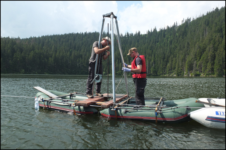
Čertovo Jezero (Czechia)
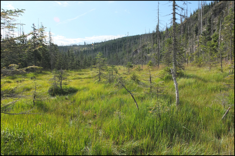
Stará Jímka paleolake (Czechia)
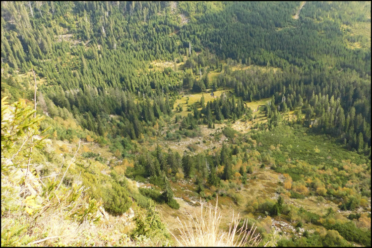
Labský Důl paleolake (Czechia)
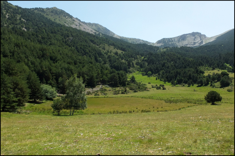
Burg paleolake (Spain)
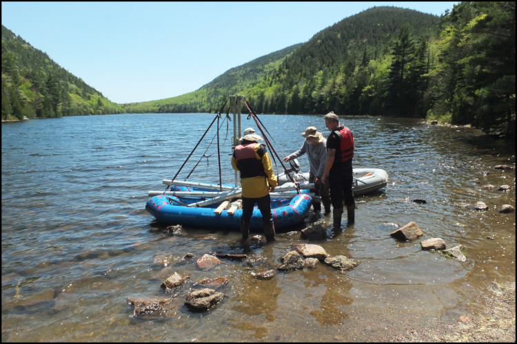
Bubble Pond (USA)
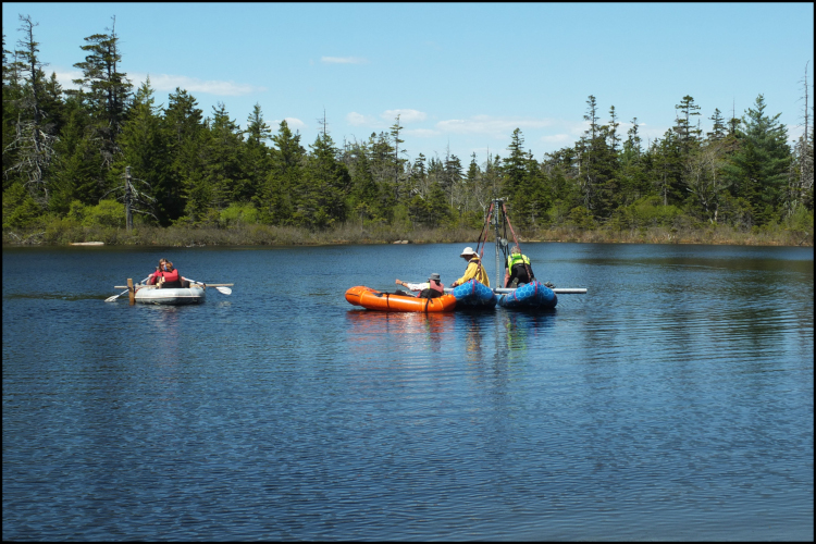
Sargent Mountain Pond (USA)
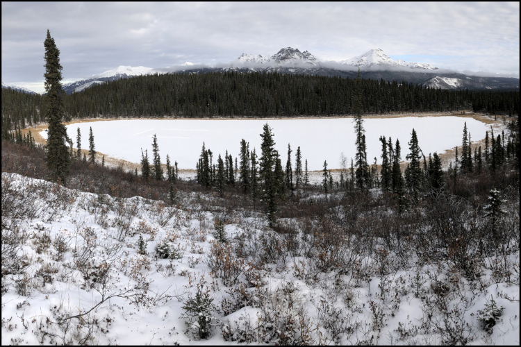
Windmill Lake (USA)
NEWS
===================
February 5, 2026
An article commemorating Prof. Evžen Stuchlík was published in the "Živa" journal (Živa 1/2026, pages XIV-XV):
https://ziva.avcr.cz/2026-1/evzen-stuchlik-velky-muz-s-velkym-srdcem.html
===================
January 23, 2026
We have completed the financial report for the year 2025.
===================
January 15, 2026
Prof. Jiří Kopáček was appointed by the Ministry of Education, Youth and Sports of the Czech Republic as the new co-PI for our project.
===================
November 12, 2025
Verena Meier received the award for best student oral presentation at the Air Quality in Time conference (Hustopeče, Czechia; presentation title: When ashes become aerosols: (crypto)tephra as a tracer of volcanic fallout and long-range transport).
===================
November 12, 2025
Our team is mourning the loss of our colleague and friend Prof. Evžen Stuchlík. Evžen was a valued team member and will be missed greatly.

===================
June 18, 2025
This website became public.
===================
June 17, 2025
The trial version of the CENA project website launched.
===================
May 26 – June 7, 2025
Field work was carried out in Acadia National Park, Maine, USA. We successfully retrieved lake sediment cores from Sargent Mountain Pond and Bubble Pond.
===================
March 1, 2025
The new project of the Ministry of Education, Youth and Sports (no. LUAUS25082) has just started.